
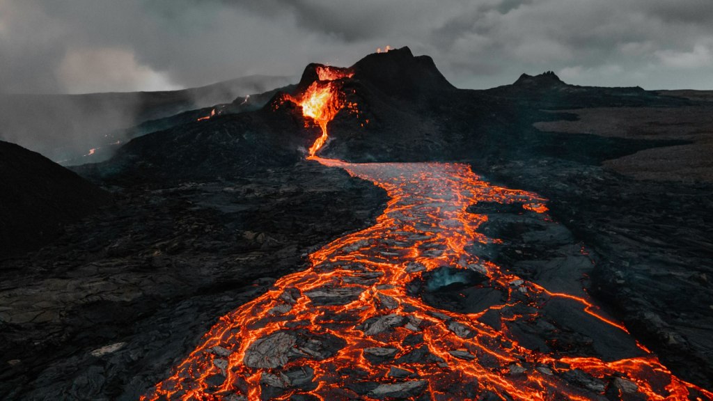
Iceland volcanoes are among the most closely watched on Earth. The island has around 30 active volcanic systems, yet the number of active volcano zones is harder to pin down, because scientists group them in different ways. In short, Iceland has about seven or eight volcano zones, depending on how you count. This guide explains what a volcanic system and a volcanic zone are, walks through each zone, and shows why the numbers you read online do not always match.
Why does Iceland have so many volcanoes?
Iceland sits on the Mid-Atlantic Ridge, the boundary where the North American and Eurasian plates are slowly pulling apart. It also lies above a mantle plume, a column of hot rock rising from deep inside the Earth. According to the Icelandic Institute of Natural History and the volcanism overview on Wikipedia, this combination makes Iceland one of the most volcanically active places in the world.
Volcanic system or volcanic zone?
The two terms are easy to confuse, so it helps to separate them.
- A volcanic system is the whole plumbing of one volcano: a main volcano plus the long fissures that stretch out from it.
- A volcanic zone is the larger belt that holds a group of those systems.
Counts of volcanic systems vary as well. Wikipedia gives about 30 active systems and notes that the Icelandic Met Office uses 34, while the Icelandic Institute of Natural History lists about 41, including submarine ones. So “around 30” is the common figure, and broader lists run higher.
The Iceland volcano zones on the map
One widely used way to count starts with the five parts of the main volcanic belt along the plate boundary, then adds the belts that lie off to the side. Some lists also treat the South Iceland Volcanic Zone separately, which brings the total to eight.
| Zone | Where it is | What to know |
|---|---|---|
| Reykjanes Peninsula | Southwest, close to the capital | Erupted again in March 2021 after roughly 800 years of quiet, and activity has continued since |
| Western Volcanic Zone | West of the central highlands | Part of the main rift belt |
| Mid-Iceland Belt | Across the middle of the island | Links the western and northern zones |
| Eastern Volcanic Zone | South and east of the highlands | Home to Grímsvötn and the Laki fissure |
| Northern Volcanic Zone | North Iceland | Where the island keeps pulling apart in the north |
| Snæfellsnes Volcanic Belt | West | A belt off to the side of the main rift |
| Öræfi Volcanic Belt | Southeast | Includes Öræfajökull, which is almost completely covered by the Vatnajökull glacier |
| South Iceland Volcanic Zone | South | Counted separately in some lists |
Three eruptions that shaped Iceland
Reykjanes, 2021 to today
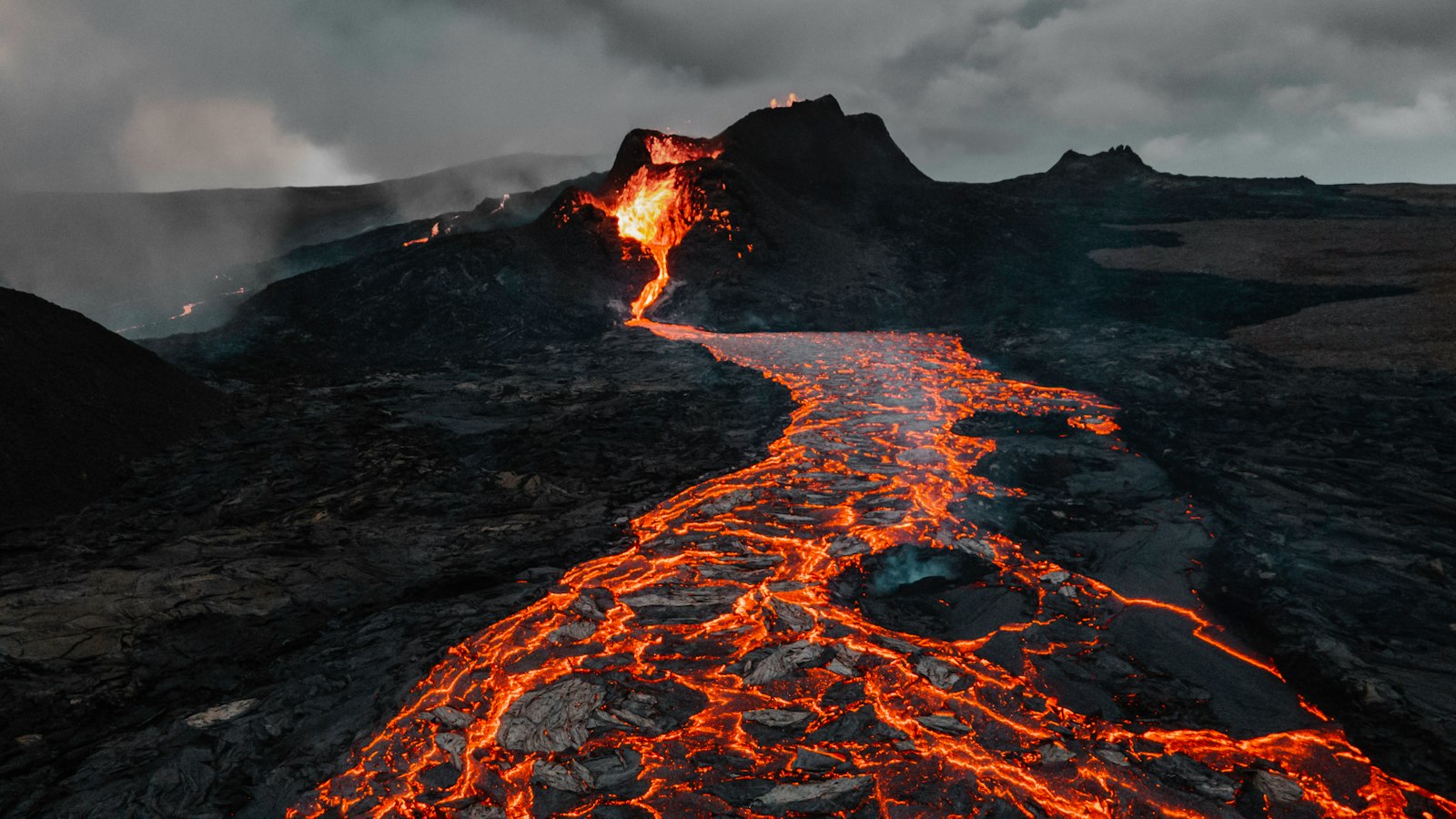
On March 19, 2021, a fissure opened near Fagradalsfjall in the Geldingadalur valley. It ended a quiet spell of roughly 800 years on the Reykjanes Peninsula, which had last erupted during the Reykjanes Fires of 1210 to 1240. Wikipedia reports that eruptions in this area are ongoing as of 2025.
Grímsvötn and the Laki fissure, 1783 to 1784
Grímsvötn is described as Iceland’s most active volcano, with more than 70 eruptions over the last thousand years. The Laki fissure belongs to the Grímsvötn system. It erupted from June 1783 to February 1784 and released poisonous gas that damaged crops and killed livestock. The famine that followed is remembered in Iceland as the “mist hardships”. Estimates differ slightly, but sources agree that roughly one fifth of Iceland’s people died, and some put the share closer to a quarter. The gas haze also spread across Europe and parts of Asia.
Öræfajökull, 1362
The Icelandic Met Office calls the 1362 eruption of Öræfajökull the largest explosive eruption in Iceland in historical times. It produced about 10 cubic kilometers of ash and pumice, destroyed farms nearby, and caused glacial outburst floods.
Why isn’t there one exact answer?
Scientists group the zones differently. Some papers name only three main rift zones (western, eastern and northern) and treat the Mid-Iceland Belt as a link between them. Others fold the Reykjanes Peninsula into the western zone. That is why counts of five, seven and eight all appear in print. The map is the same, and only the labels change.
Frequently asked questions
How many active volcanoes does Iceland have?
Iceland has about 30 active volcanic systems, although broader lists count 34 or more than 40.
Are Iceland’s volcanoes still active?
Yes. The Reykjanes Peninsula began erupting again in 2021, and nearly 30 Icelandic volcanoes have erupted since the last ice age.
What is the most active volcano in Iceland?
Grímsvötn, which has erupted more than 70 times in the last thousand years.
If you enjoy stories like this, browse more in our Facts section, and subscribe to Mr Global Rankss on YouTube for more of the world’s stories.
The Hope & Peace Collection
Wear what you believe in
Two original designs, two words that say it all.
Sources
- Wikipedia: Volcanism of Iceland
- Icelandic Institute of Natural History: Volcanic activity
- Icelandic Met Office: Öræfajökull
- Wikipedia: Laki
- Katla Geopark: Lakagígar
- VolcanoDiscovery: Grímsvötn
- Guide to Iceland: Volcanic eruptions in Iceland, a complete timeline
- Gulf News: Icelandic volcano erupts, first eruption in nearly 800 years


Leave a Reply