
Before GPS, people found their way by combining a handful of tools and skills: landmarks, the magnetic compass, the position of the sun and stars, careful arithmetic based on speed, direction and time, and, in the twentieth century, radio signals and printed maps. Sailors, pilots and drivers each adapted these methods to their own needs, and some of the oldest techniques, such as reading the stars and the ocean swells, carried canoes across thousands of miles of open water with no instruments at all. This article explains how people navigated before GPS, how ships, aircraft and cars each managed it, and when satellites finally took over.
How did ships navigate before GPS?
Close to shore, sailors steered by landmarks such as headlands, islands and lighthouses, and compared the depth of the water with their charts, as SlashGear’s overview of ship navigation explains. Out of sight of land, they relied on dead reckoning. A navigator starts from a known position and tracks the ship’s direction and speed over time to estimate how far it has traveled. The Federal Aviation Administration’s definition, quoted by AOPA, describes the same idea for aircraft: a position worked out purely from time, speed, distance and direction.
Dead reckoning drifts, because currents and wind push a ship off its estimated track, so navigators checked it against the sky. Measuring the angle of Polaris, or of the noon sun, above the horizon with a sextant gave a ship’s latitude, as a Yale teaching unit on celestial navigation describes. Longitude was a far harder problem.
Why was longitude so hard to find at sea?
Longitude depends on time. A navigator needs to know the time at a fixed reference point, such as Greenwich, and compare it with local time, and for most of history no clock could keep accurate time on a rolling, damp, temperature-swinging ship. Britain’s Longitude Act of 1714 offered large rewards for a practical solution, as the Royal Museums Greenwich account of Harrison’s clocks records, and Physics Today puts the top prize at 20,000 pounds.
Two approaches competed. The lunar distance method used printed tables of the Moon’s position and a sextant, but it required long calculations and a clear sky. The alternative was an accurate marine timekeeper. John Harrison, a self-taught clockmaker, completed his first sea clock, H1, in 1735 and eventually built H4, a large watch that performed well on transatlantic voyages. Captain James Cook carried copies of Harrison’s design on his voyages and used lunar observations as well, according to Royal Museums Greenwich. Early chronometers were rare and expensive, so the two methods were used side by side and checked against each other for decades.
How did the magnetic compass change navigation?
The magnetic compass gave sailors a reliable sense of direction in any weather. Britannica traces the discovery to the twelfth century, when mariners learned that a magnetized needle settles into a north-south line, and says the needle was later mounted on a pin above a card marked with directions. Once a navigator knew which way was north, every other direction could be found. By the early fourteenth century the compass was helping sailors in the Mediterranean keep their bearings without landmarks, and IEEE Spectrum notes that it made sailing practical for much more of the year.
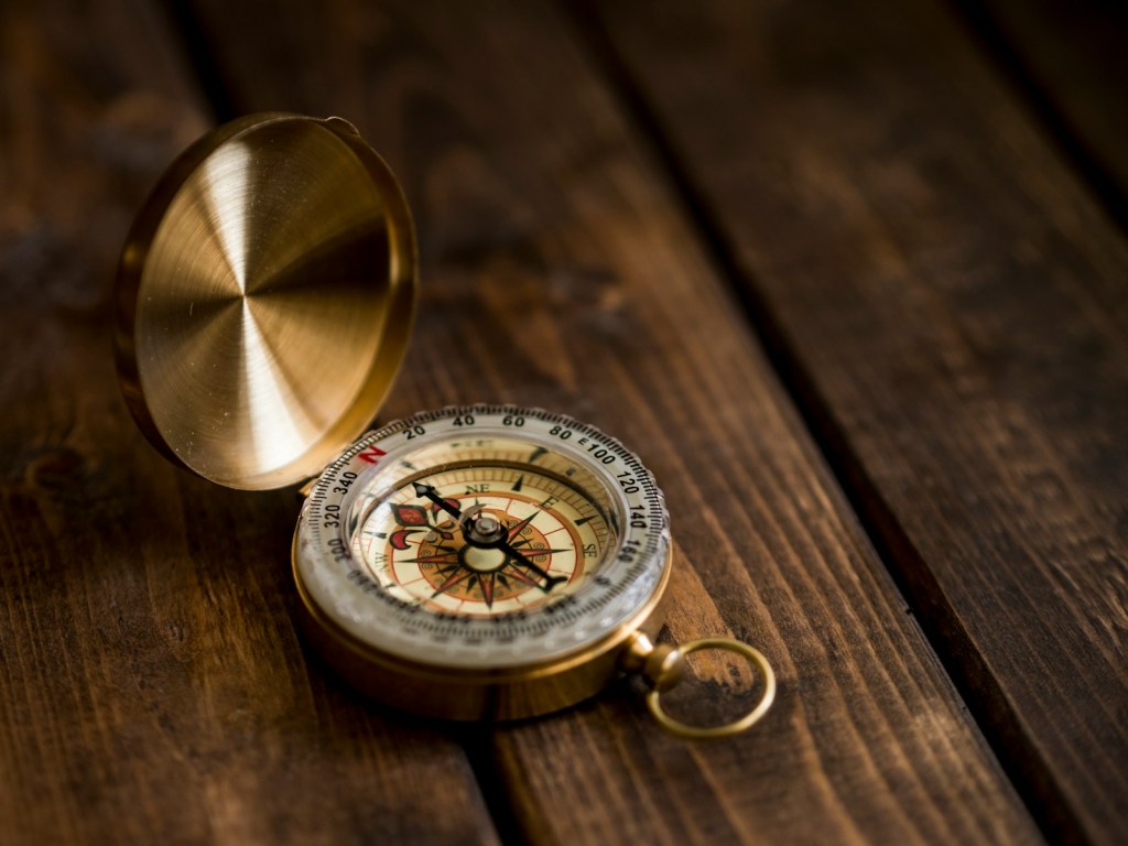
The compass had a catch. Its needle points toward a place near the North Pole, not the pole itself, so navigators had to correct for the difference, known as magnetic variation. Both Britannica and IEEE Spectrum describe this problem, and IEEE adds that Edmund Halley produced the first chart of these variations in 1701.
How did Polynesian navigators cross the Pacific without instruments?
Pacific wayfinders used no compass, sextant or chart at all. According to the Polynesian Voyaging Society, they read the stars, the sun, the ocean swells and the wind, and the Science Learning Hub adds the moon and marine life to the list. The knowledge was learned by heart and passed down by spoken tradition. In 1976 the voyaging canoe Hokule’a sailed from Hawaii to Tahiti guided by Mau Piailug, a master navigator from the island of Satawal, and the voyage helped revive traditional wayfinding across the Pacific.
How did pilots navigate before GPS?
Early pilots used pilotage, which means navigating by landmarks and checkpoints, together with dead reckoning. Pilotage works only when the pilot can see the ground, so night and cloud were serious problems. In the 1920s the United States lit its airways with rotating beacons, and AeroCorner describes a lighted transcontinental route with a beacon about every ten miles. AeroXplorer places the start of night flying in the same decade.
Radio came next. In the late 1920s the four-course radio range sent Morse code signals for the letters A and N into four directions. A pilot on the correct track heard the two merge into a steady tone and could hold course even inside cloud. Later ground beacons, including VHF omnidirectional range stations, gave pilots bearings to and from known points. Around 1970, the Boeing 747 brought inertial navigation to airliners: self-contained units that tracked the aircraft’s movement without any outside signal, with three units fitted so that their results could be compared.
How did drivers find their way before GPS?
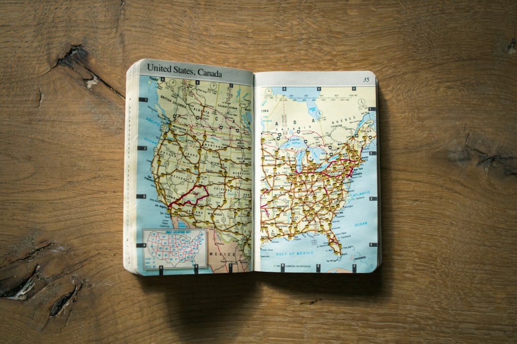
Drivers relied on printed maps. The Henry Ford museum notes that early roads were so poorly marked that maps needed written directions or photographs of landmarks with arrows drawn on them, and that AAA’s TripTik routes, spiral-bound strips of road map prepared for a member’s trip, helped travelers before MapQuest or GPS. Kelley Blue Book dates AAA’s TripTik maps to at least 1932 and describes them as custom-assembled flip books. For a look at how the roads themselves were designed, see why highway exits are shaped like a cloverleaf.
When did GPS replace these methods?
The U.S. Space Force lists April 1995 as the date the GPS constellation reached full operational capability, and AeroCorner also dates the system’s full operation to 1995. Satellite navigation then displaced most of the older systems as the main way to find a position. The older skills have not disappeared, and ships still carry sextants as backups, as both Royal Museums Greenwich and SlashGear note.
What was left out, and why?
Several popular details rest on a single source, or on sources that disagree, so they are left out here. They include who invented the sextant and in which year, the exact year of the first radio range, and the first dates for specific road maps. Where sources give slightly different dates, as with the early compass, this article describes the period instead of choosing a single year.
Frequently asked questions
How did sailors know where they were without GPS?
They combined dead reckoning, a compass and measurements of the sun and stars. Latitude came from the angle of Polaris or the noon sun, and longitude came from comparing local time with the time at a reference point.
How did pilots navigate at night before GPS?
In the 1920s they followed lighted airways with rotating beacons, and from the late 1920s they could also fly along radio range beams that held a steady tone when the aircraft was on course.
How did people find longitude before GPS?
Either by lunar distance observations, which used the Moon’s position and printed tables, or by carrying an accurate marine clock set to a reference time such as Greenwich.
Do ships still use sextants?
Yes, as a backup. Royal Museums Greenwich notes that sextants and almanacs remained backups after electronic aids arrived, and SlashGear reports that most ships still carry one.
If you enjoy facts like these, browse more in our Facts and History sections and subscribe to Mr Global Rankss on YouTube (https://www.youtube.com/@mrglobalrankss) for more science, history and rankings.
Related reading: Why Are Highway Exit Ramps in the U.S. Shaped Like a Curved Cloverleaf Design?
Sources
- Royal Museums Greenwich: Navigating from Captain Cook to GPS
- Royal Museums Greenwich: Harrison’s clocks and the longitude problem
- Physics Today: John Harrison
- Yale Teachers Institute: Celestial Navigation
- SlashGear: How Ships Navigated Before GPS Was Invented
- Britannica: Compass, navigational instrument
- IEEE Spectrum: History Lesson, the Magnetic Compass
- Polynesian Voyaging Society: Polynesian Wayfinding
- Science Learning Hub: Wayfinding revival
- AOPA Flight Training: Pilotage and Dead Reckoning
- AeroXplorer: Before GPS, How Did Pilots Navigate in the Early Days of Aviation?
- AeroCorner: How Airplanes Know Where To Go
- The Henry Ford: On Your Way with Triple A
- Kelley Blue Book: From Maps to GPS
- U.S. Space Force: Global Positioning System


Leave a Reply